TMDL
Impaired Waters
TMDL’s or Total Maximum Daily Loads are the calculation of the maximum amount of a pollutant that a waterbody can receive and still meet state or federal standards. When TMDL’s have been put in place, there are accompanying plans that identify the pollutant, waterbody’s that are impacted, reductions needed and ways to implement the reductions.
Our Impacted Waterbodies
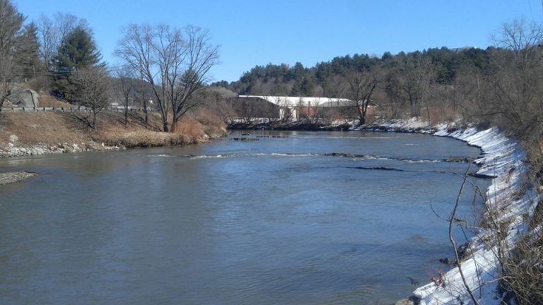
Within the District there are many impacted or impaired waterbodies. To view a complete list by problem or pollutant identified visit the VT ANR Watershed Management Division site. The WNRCD partners with municipalities, organizations, agencies and landowners to implement the reductions in pollutants identified that will improve water quality.
For more information on project initiatives focused on reducing TMDL’s within the District please review our work.
To contact the WNRCD to partner on projects to reduce TMDL’s please email: info@winooskinrcd.org
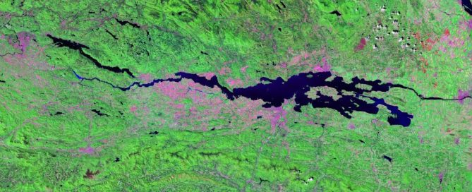
Lake Champlain TMDL
Lake Champlain is impaired due to excess phosphorus loading, which has resulted in severe eutrophication in many lake segments causing excessive algal growth an toxic algal blooms. TMDLs have been developed for all 12 of the Vermont lake segments. This approach recognizes that the lake functions as a set of hydrodynamically interconnected segments that extensively influence each other.
What happens within the watersheds of the District, impacts the main lake segment. The largest source of phosphorus lake-wide is the agricultural sector, followed by streambank erosion, developed land, and forests. Within the WNRCD the main sources of phosphorus are developed land and streambank erosion.
To read more: phosphorus-tmdls-vermont-segments-lake-champlainTo view the implementation plan: vt-lake-champlain-tmdl-phase1-ipEducational Factsheets on TMDL implementation actions